
Monday, Aug 13, 2012
When you ride from the Lower Mainland to the South Okanagan you have many choices before you. You can take the Crowsnest through Manning Park and enjoy the scenery, you can cruise over the Coquihalla and the Okanagan Connector and get there quickly, or you can do what I did and take on some of the best motorcycle roads in British Columbia.
I woke up at around 9am and quickly packed Silver so we could get an early start on today’s journey. I said goodbye to Scott and Gill and I was on the TransCanada heading east by 10:00.
The highway through the Fraser Canyon is fast and droning. Ever since my near accident on the That Thing You Do Tour 2010 I have been a tad wary on this highway- especially traffic pileups. It is far more fun going west than east, but the eastward direction creates an exciting effect as the massive Cascade Mountains east of Chilliwack slowly get closer and closer. Before long, you are out of the valley and are surrounded by giant mountains again.
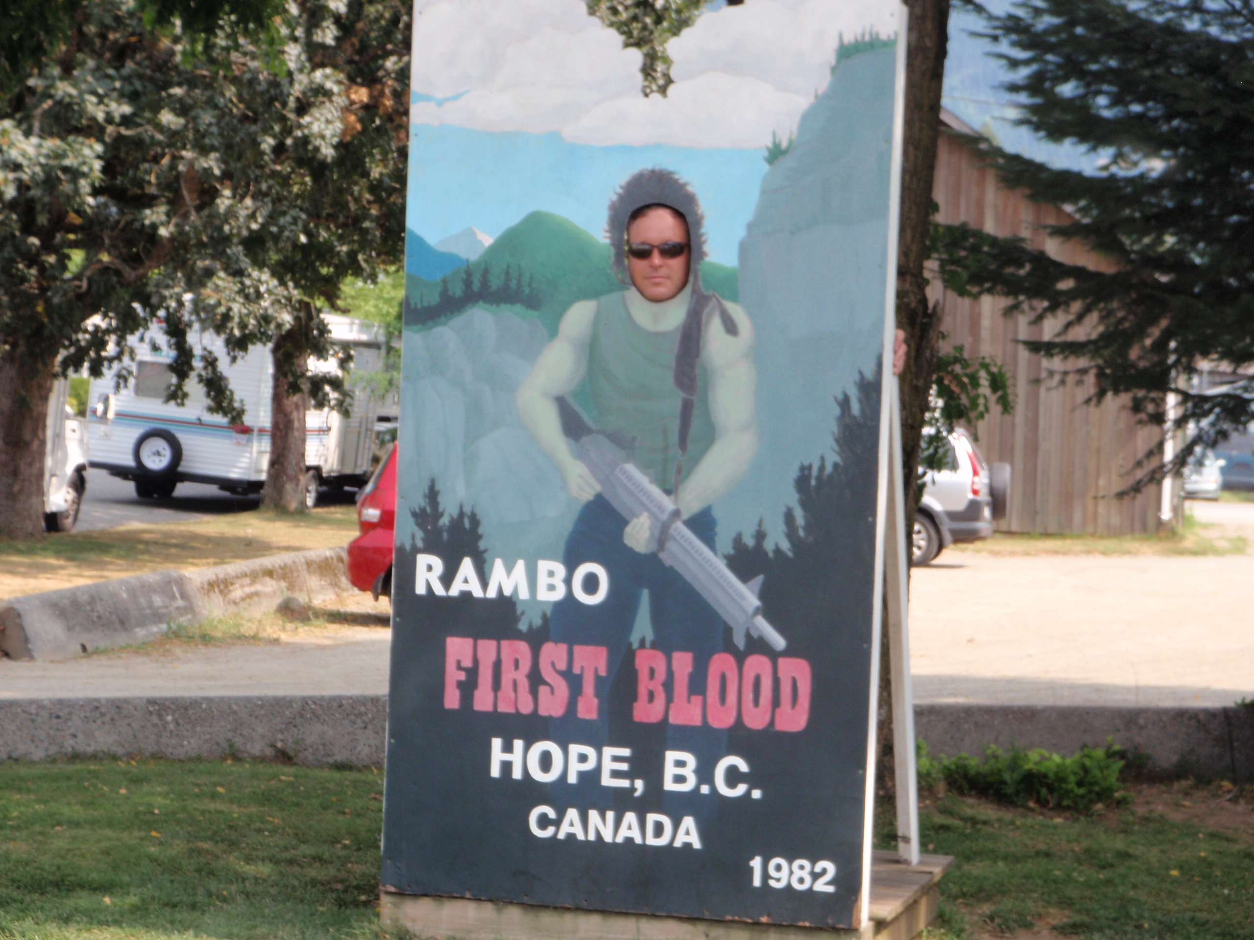
I reached Hope at around 11:30 and took a few minutes to fuel up and hydrate. My adventure was about to take me to one of my favourite places in the world: the amazing Fraser Canyon.
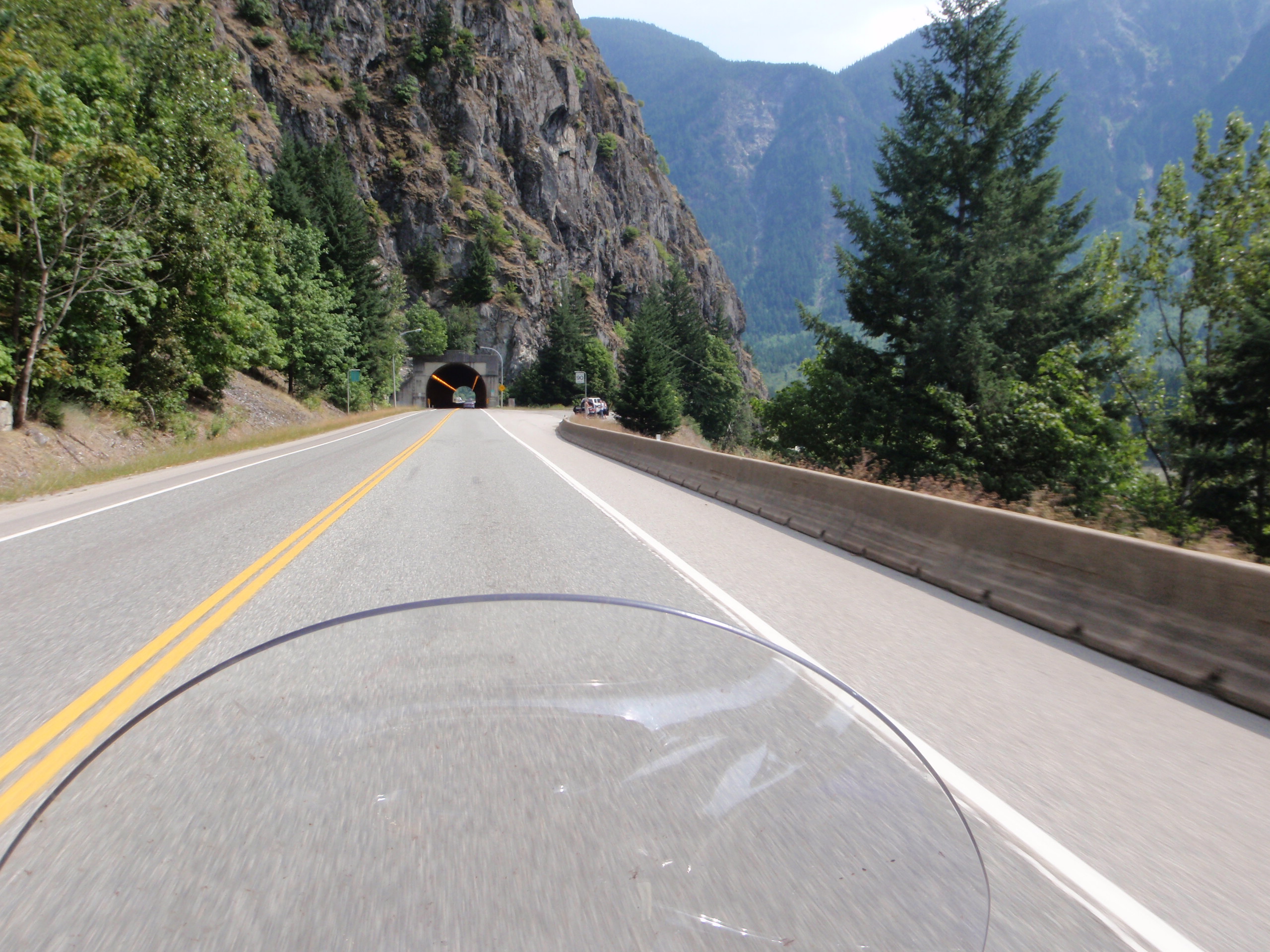
We sped north up the Canyon and experienced one of the greatest terrain changes available in BC. The open valley around the Fraser at Hope closes in as you head north, the road gets tighter and climbs up the side of the mountains, and before you know it you are high above the mighty Fraser below and hugging the side of the mountains that tower above you. The road gets so tight up here that they had to blast through the mountain and use tunnels to get around. It is a humbling place to be…one bad decision could lead to a disaster.
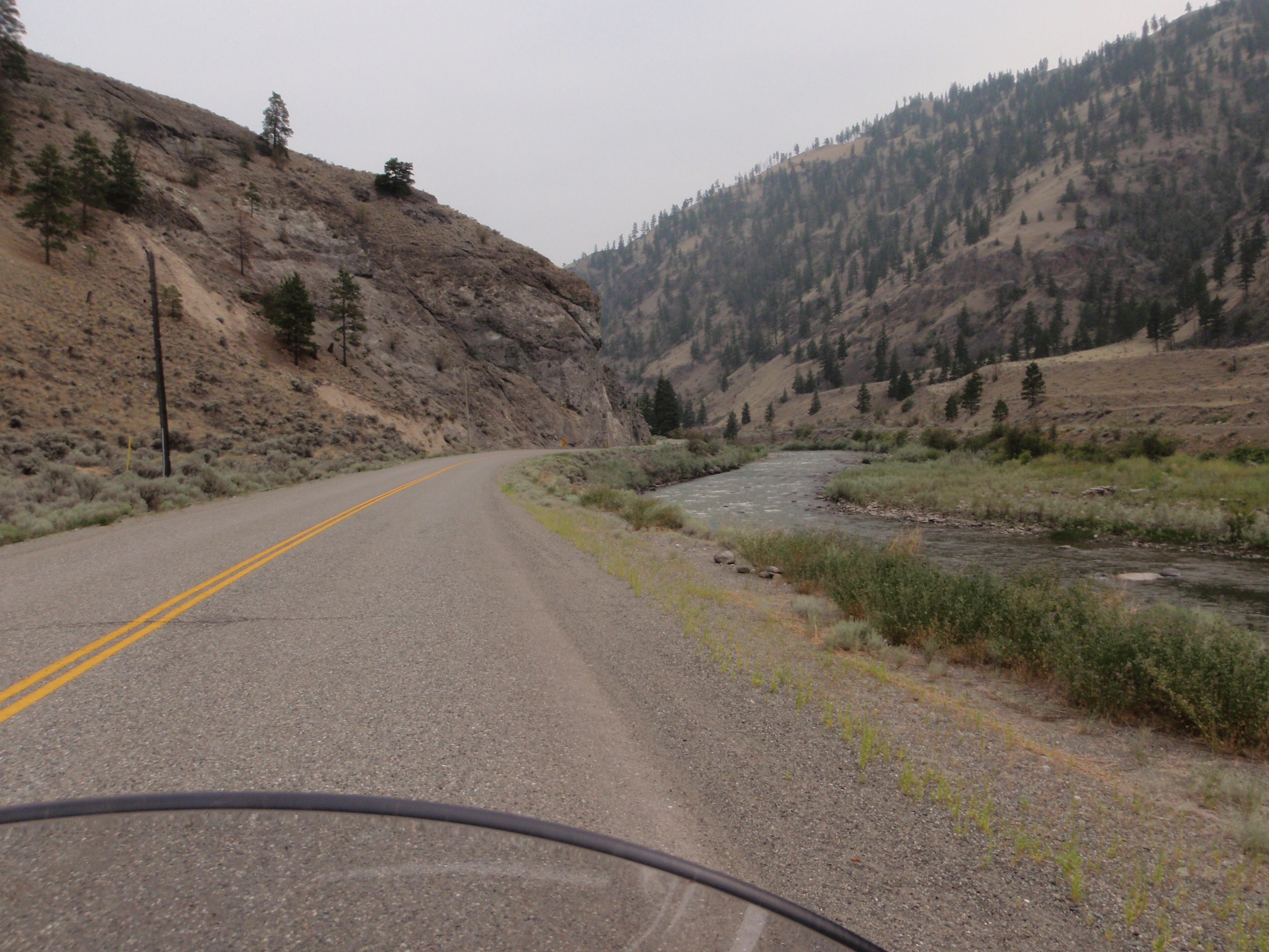
The climate also changed as we left the cool, moist interior and entered the hot, dry interior. We cruised past Hell’s Gate canyon and Boston Bar and finally reached Lytton at around 2:00pm. Lytton is located where my two favourite rivers converge: The Fraser and the Thompson. My intention was to have a break and some lunch in Spences Bridge, so after fueling we followed the Thompson River east. This stretch of highway is breathtaking in how rugged and scenic it is. The white water of the Thompson roars from the Thompson Plateau into the Coast Mountains, while the road itself ends up right down at the river’s edge. It is hard not to stop every few minutes to take pictures.

At Spences Bridge I was disappointed to learn that the restaurant at the Inn at Spences Bridge was closed. I had discovered this place on the Little Miss Sunshine Tour 2009 and wanted to eat there again. Instead I found a pub that was basically a big log cabin (in fact, it was called the Log Cabin Pub) with a stage for bands and a lot of motorcycle paraphernalia. I felt comfortable here.
After a short break and some food I was ready to head into the heart of the Nicola Valley in the Thompson Plateau. You could shoot a spaghetti western here. The river sits in the bottom of a narrow, tall valley that boasts ranches, tall rock formations, old buildings, and abandoned mines. The terrain is rocky with sparse populations of dark trees, and the air was hot and dry. There was a haze throughout the air as well, indications of a far off forest fire filling the sky with smoke.
I reached Merritt at about 5:00pm and I found it hard to believe that I was in this little town only a week ago heading northwest to Lillooet. I fueled up and took in some more water. I was getting tired…riding on those tricky canyon roads requires the strongest concentration, and my mind needed a break. I hung out for a half hour or so and jumped back on Silver to continue our journey.
I wanted to take a road that I hadn’t taken before, so I rode east on the Okanagan Connector for about 20km, then took a sharp turn south toward Princeton. Unfortunately, my ipod lost power at this point, so I would have to complete today’s journey without tunes…a serious disappointment, but not a deal breaker.
After the excitement of the Fraser and Thompson canyons, riding down into the Similkameen valley was like a relaxing after-dinner mint. The roads to and through Princeton are mostly straight and in the bottom of a massive valley. I was able to reach Princeton by 6:00 and Keremeos by 7:00.
My final destination was Oliver. I arrived at the Cactus Tree Inn just as the sun was setting so I was not able to really enjoy the scenery of the south Okanagan yet. No matter…I would have plenty of time to do so over the next few days.
After parking Silver and unpacking my bags, I needed a way to cool off and rest my aching body. I threw on a pair of shorts and took a swim in the pool. It was a long day. If I would have taken the Crowsnest route I’d have arrived in Oliver several hours ago, but my route was worth it. This tour is all about riding my favourite roads and being able to conquer them no matter how tired, fatigued, or dangerous the conditions were.
With the stars shining in the open sky above, I soaked in the water and then enjoyed a well deserved sleep in my room.

