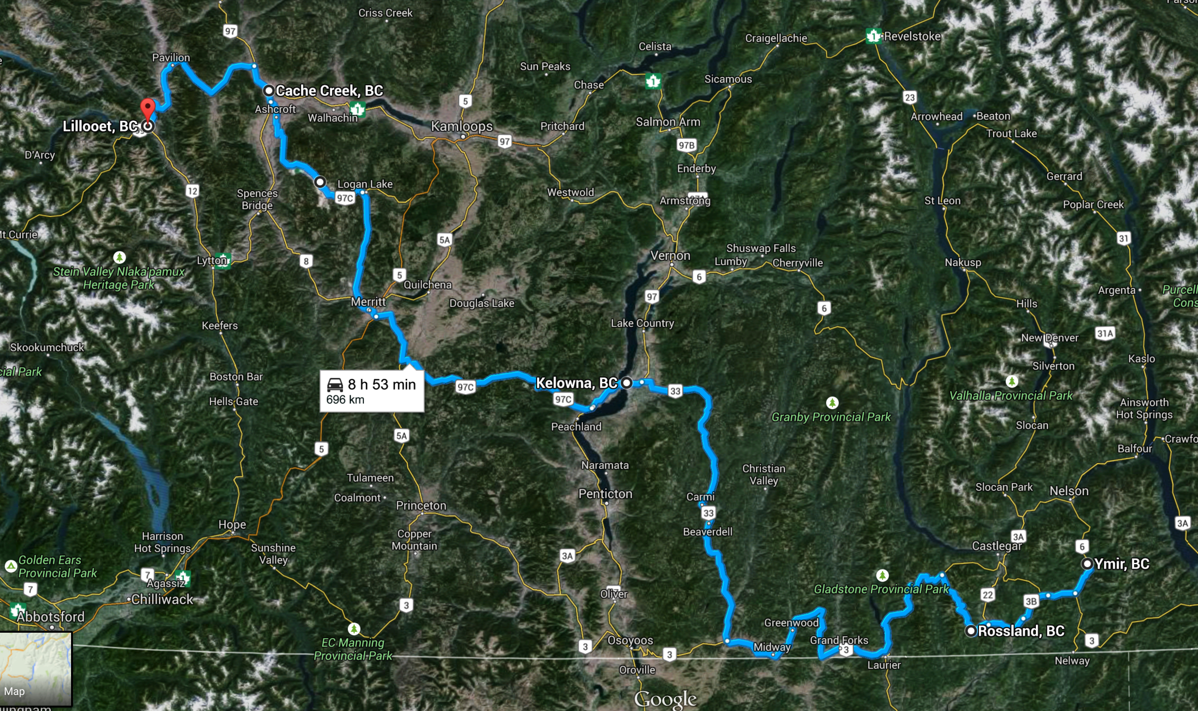
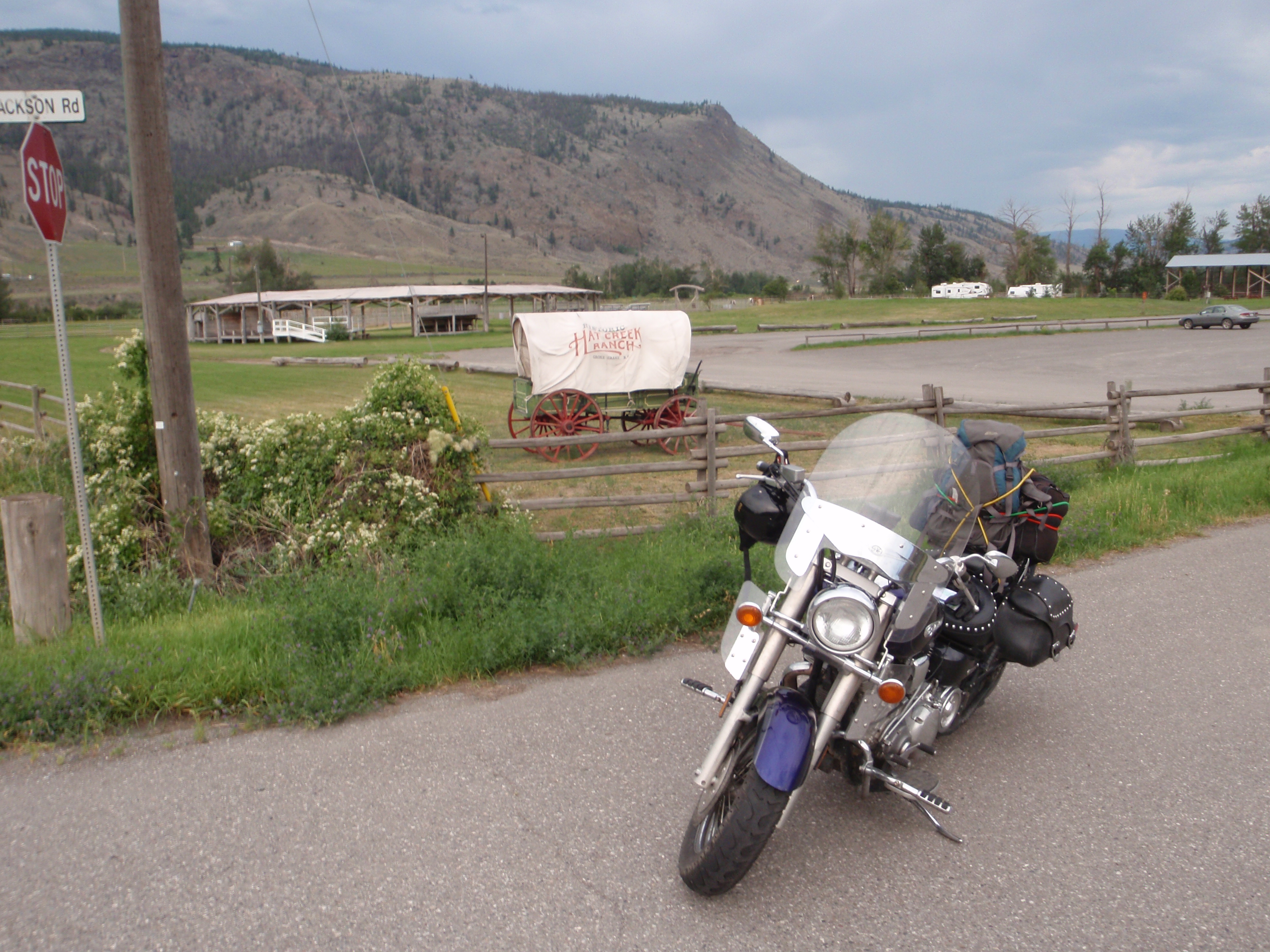
Monday, Aug 6, 2012 When I had planned the Road Warrior Tour this day was always intended to be the longest day of riding. It had to be a “bridge” day…a day to get from where I was to where I needed to be, with little disregard for any distractions along the way. The mission was simple: get from Ymir in the Kootenays to Lillooet- the bordertown nestled between the Thompson Plateau, the Coast Mountains, and the Fraser Canyon. Kelowna was the half-way point and there was a long way to go. In order to make it, I had to have lunch in Kelowna. Had to…or there’d be mountain riding in the dark. This must be avoided.
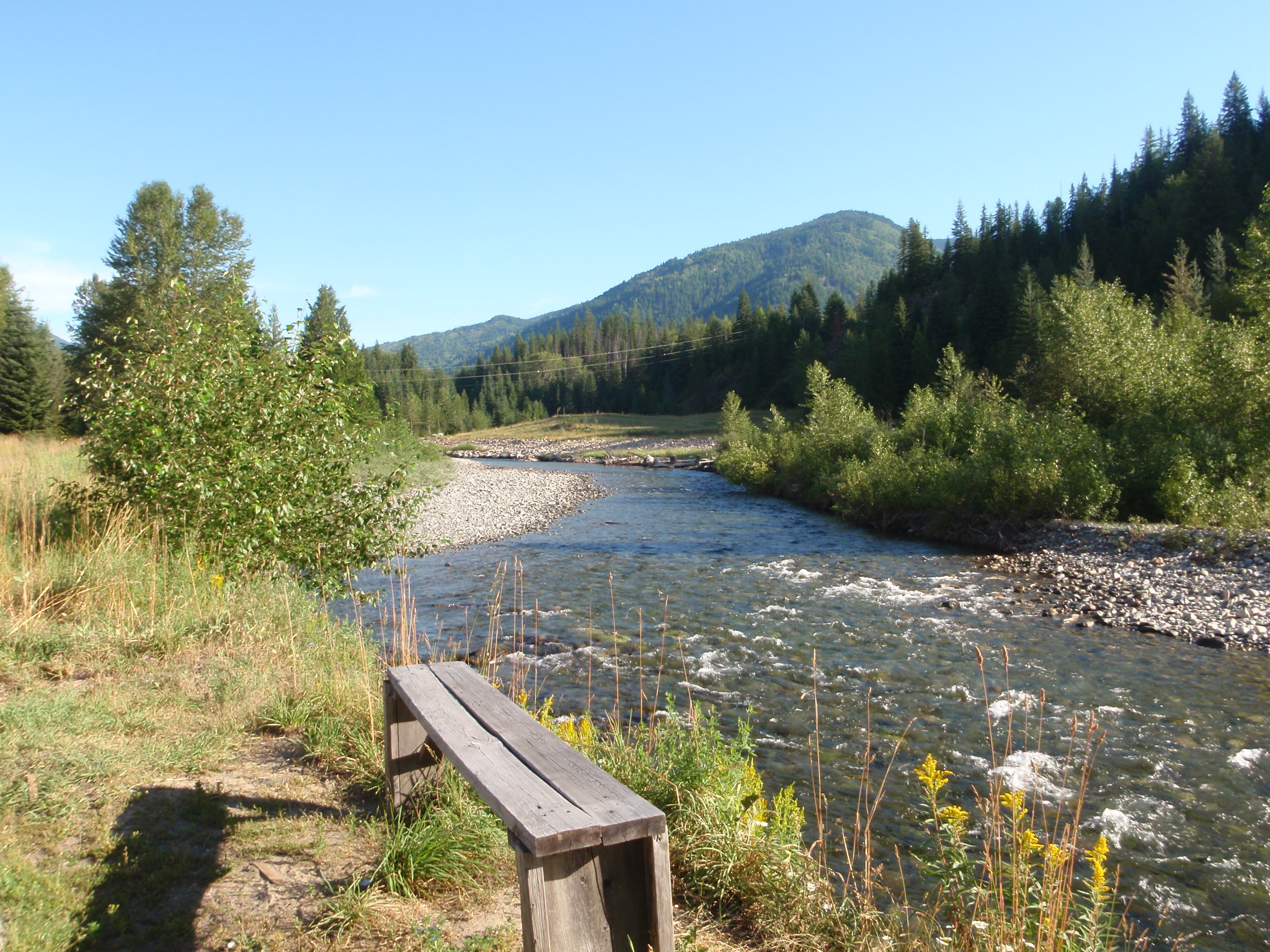
I woke up rather early in Ymir by bike tour standards: 7:00am. After quickly packing Silver and having breakfast by the creek across the street from the Hotel, I headed back south to the Crowsnest Highway at Salmo. It was hard to say goodbye to Ymir and that amazing Hotel. I can’t say enough good things about the Kootenays. The morning air was cool and moist and the smell of pine was everywhere. I took a southwest route on the 3a from Salmo through Fruitvale, Montrose, Trail, and Rossland before I reconnected with the Crowsnest Highway to the west of Castlegar. The roads were nice and twisty and there was hardly any traffic. One thing about Rossland- everything is named after Nancy Greene. I think they are really wild about their Senators there.
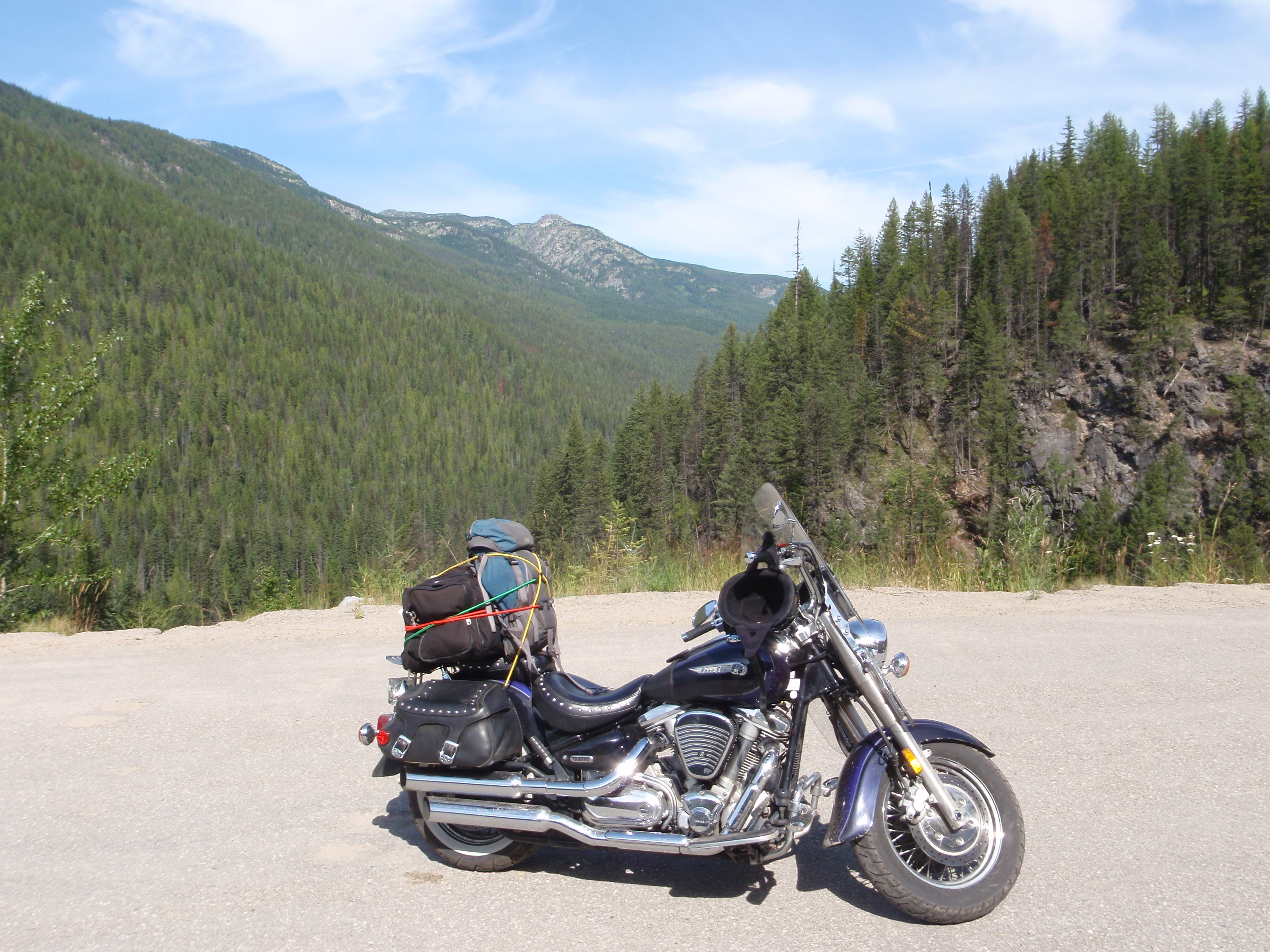
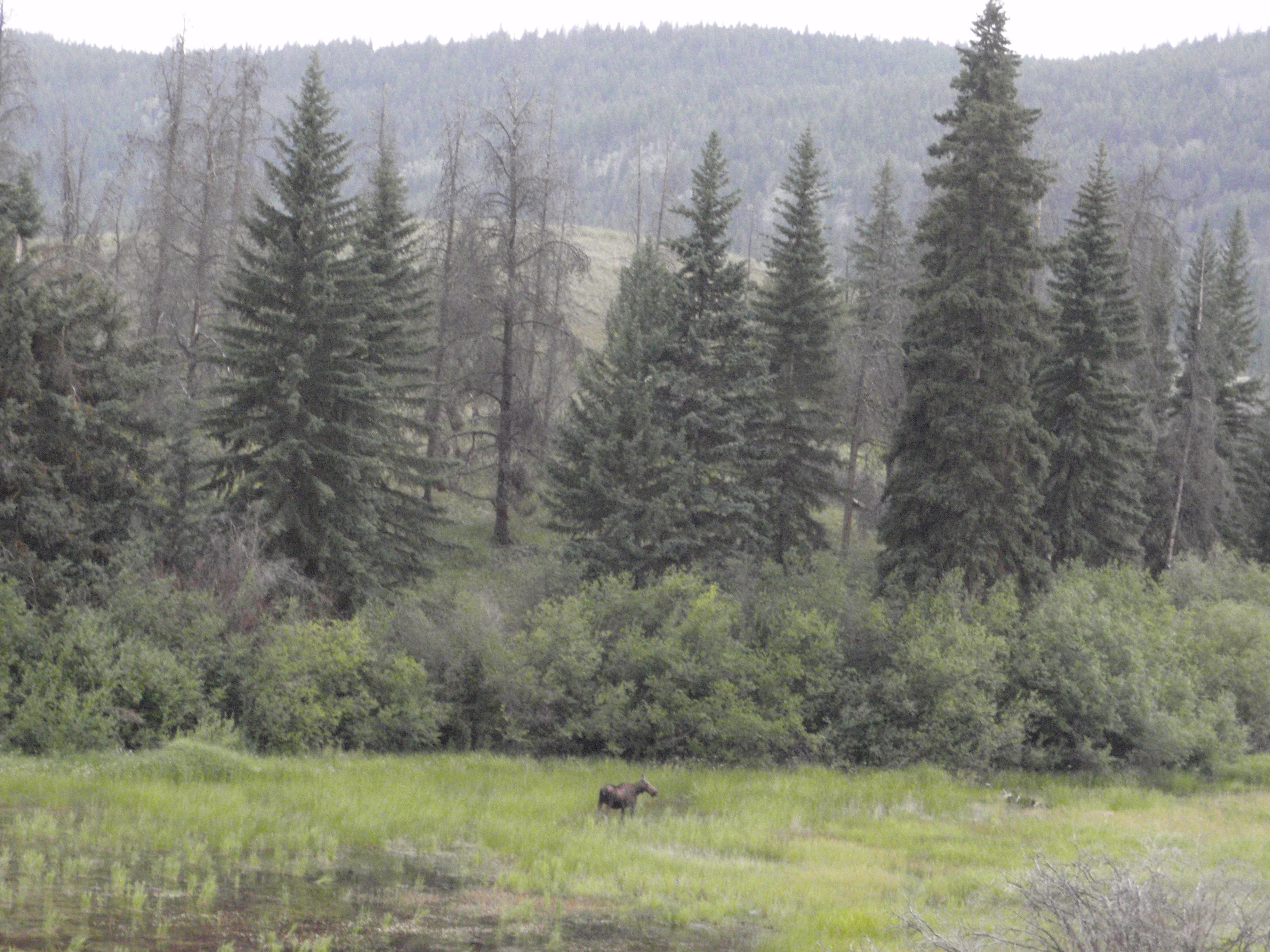
Once I passed the famous (in my mind) Paulsen Bridge and Christina Lake the scenery changed dramatically. The lush, green forests and tight mountains of the Kootenays turns into the semi-arid Kettle Valley where the mountains are more like tall hills. By the time I reached Grand Forks the sun was beating down pretty hard and the temperature had to be near 30. I took in some water and continued west until I reached Rock Creek.

When I rode into Rock Creek I was getting tired and it was already 1:00pm. The demands of riding all day yesterday combined with an early start today and nothing but a banana in my stomache from breakfast had gotten to me. I should have stopped and had lunch there but I kept repeating my mantra- “Kelowna for lunch, Kelowna for lunch, gotta be Kelowna for lunch…” I headed north from Rock Creek for the 130km stretch to Kelowna. I chose this route because I figured the Okanagan valley would be full of traffic that would only slow me down, and I thought I could simply power through this stretch and enjoy a long break in Kelowna. I was wrong. About 50km into the stretch I had to stop and nap. The fatigue was too strong and there was no way I could continue. I found a rest area and had a short snooze in the ditch. It was not restful because ants kept crawling up my arms and the sounds of children laughing and playing in the rest area was too loud. I got what rest I could and continued north.
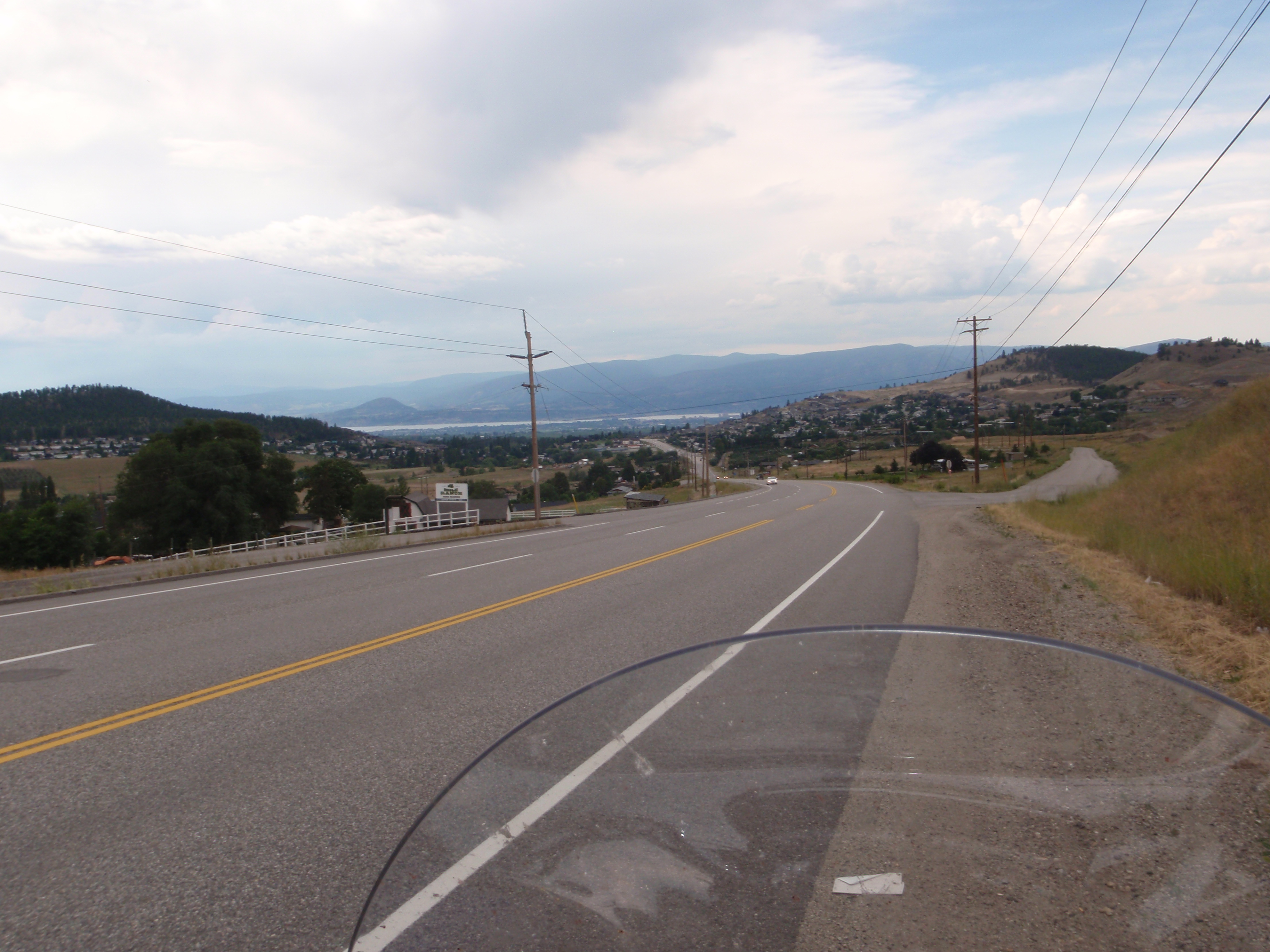
I finally reached Kelowna at about 3:00 and was able to enjoy a little Quizno’s picnic in a mall parking lot (this is not nearly as glamorous as it sounds). I did feel a sense of accomplishment at having made the halfway point but there were two ominous indicators I had to deal with: the first was that I was behind schedule by about 2 hours, and the second was rain clouds to the west. I was going to have to ride through these clouds, and I knew that rain would slow me down considerably. The bonus, however, was that the temperature dropped and was now at a tolerable 25 degrees or so. The Okanagan Connector between West Kelowna and Merritt is an engineering marvel. Not only did they design a highway that takes you from the lows of the Okanagan and over a mountain range into the Thompson Plateau, but they did it with six lanes and a divider in between the eastbound and westbound lanes. I think most of the economic activity in the last 20 years in the Okanagan is a result of this- otherwise it would take hours to get to a major trade corridor like the TransCanada. The problem with it, from a Road Warrior point of view, is that it is so fast that you don’t get to enjoy the scenery. I was more worried about keeping up with traffic on the bike and not getting sideswiped by a double-trailered semi to notice the scenery. This is why I usually avoid the #1 through BC, the Coquihalla, and this highway. Leaving Kelowna was odd for me, since on most tours Kelowna is a port-of-call where I spend considerable time at wineries and eateries. Not today though. Today I was on a mission to get to Lillooet. I was able to cross the Okanagan Connector and reach Merritt by 5:00pm. Traffic was horrible, mostly because I was caught in a steady stream of weekend warrior traffic from the Lower Mainland.

The rain didn’t touch me so far and for that I was thankful. I fueled up in Merritt, did some stretches, and prepared to cross the Thompson Plateau to Cache Creek. I was very tired at this point and had to suck back another one of those damn 5-hour energy shots. I’m not a fan of using chemical stimulants, but these things get the job done when it needs to get done.
I headed north through Logan Lake even though it was the long way ‘round and one of my favourite roads is the eastward route to Spences Bridge. I was keen on trying new roads and the highway between Logan Lake and Cache Creek was new to me. The problem with the whole experience is that the sky was taken over by rain clouds…the Thompson Plateau in my mind should be experienced only the dead heat and sun of summer. I didn’t get to enjoy this region the way I preferred and I had to stop frequently just to stay awake and focused. Nonetheless, I rode my way through it despite the realization that I was overtired and needed rest as soon as possible.
By the time I reached Cache Creek it was about 8pm and the sun was falling behind the massive Coast Mountains to the west. This particular leg of highway from Cache Creek to Lillooet is an attraction to itself. You get taken from the hot, dry Thompson Plateau into the Fraser Canyon in a matter of a half hour, and in doing so you come face to face with the mighty Coast Mountains just across the Fraser. Lillooet itself is located at one of the most interest points in British Columbia. I was excited to say hello to the Fraser- by far my favourite river (that’s right… ‘favourite river’). By the time I reached it, however, the sun was setting and I was in the dark. This is the second time I was robbed of this fantastic scenery- the first being the Magical Mystery Tour 2008. The most disappointing aspect of the situation was that I had purposefully intended to take this route so that I could see the scenery. The Fraser Canyon is fascinating and is along the route taken by its namesake in order to reach the site of present day Vancouver in order to assert British dominance in the Pacific Northwest. Few rivers have had as big of an effect on Canadian History.

I reached Lillooet at about 9:00- over 12 hours since I left Ymir in the morning. Staying in the room next to me at my motel was a couple who lived near Prince George to the north who also rode motorcycles. We had a few drinks together in the parking lot and discussed good highways to take and how they are to ride, and after a few minutes it was clear that I knew more about riding in rural BC than they did. I retired to bed feeling good about being in Lillooet. Today was not about pictures or adventures or sideways detours. Today was about getting from point A to point B as quickly as possible, and in doing so I had to do battle with every highway along the way. I was extremely tired and by the time I was able to lay in bed, I was out in an instant.