Monday, July 4, 2011
Today I kissed the sky at the Kootenay Pass, the second highest highway in Canada, and like Helios riding his Chariot of Fire down from the heavens, Silver and I descended from these heights into the hot Okanagan valley. Taking a circuitous route, I would basically circle around Kootenay lake until busting loose on the Crowsnest west to Oliver.
The day started early by tour standards. After an 8am wakeup and a hearty breakfast with my cousins (and about 10 minutes of jaw- dropping scenery admiration from their balcony overlooking Kootenay Lake), I was packed and ready to hit the road by 10am.
The ride to the ferry is fun except for the traffic. The road meandered around the north side of the West Arm of Kootenay Lake until we reached Balfour- the ferry terminal that would then take us across the lake to Crawford Bay. I missed the ferry by about two minutes so I had to wait nearly an entire hour for the next one. No worries…it was a beautiful day and there was a pub nearby.
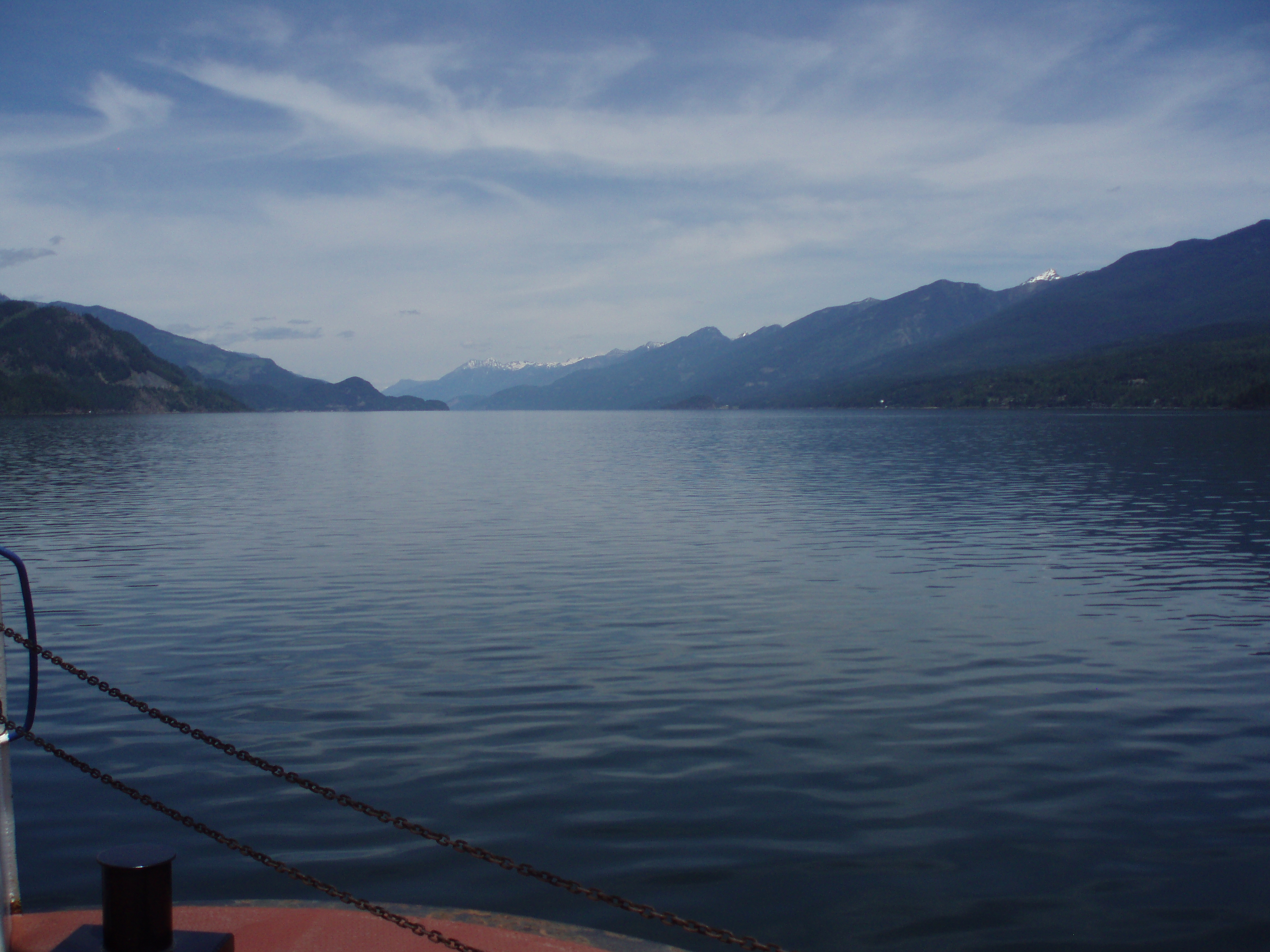
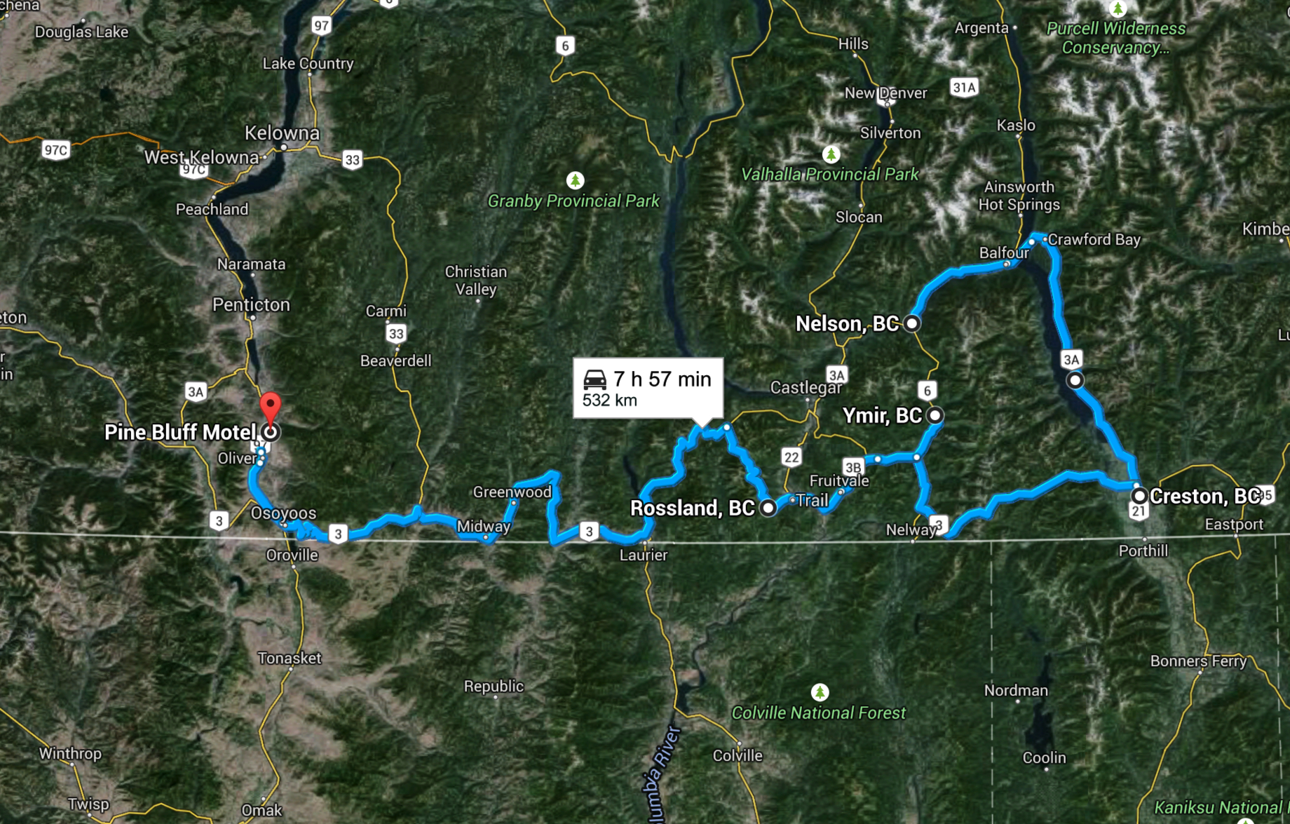
The ferry ride itself is awesome. Kootenay Lake is so big and beautiful, I could just sit and stare at the scenery all day. It takes the better part of an hour to get across, and the entire time I just took pictures and soaked everything in. That smile was getting bigger. Once across the lake, there was no stopping Silver and I as we leaped from the boat onto the best motorcycle road in all of Canada: the Kootenay Bay-Creston highway. The entire way south the road winds around the base of the Purcell mountains as they dive into Kootenay Lake. It is amazing. Simply amazing. I look forward to this every year.
Once I reached Creston I headed west over the Kootenay Pass. The road is quite simple: you go straight up for about 27 miles, then straight down for another 27 miles. There was still alot of snow at the summit, they must have had a crazy winter of snow over here (like we did in Sask) and been having a cold, wet summer (like we are in Sask).

After coming down the pass I headed up to an old quartz mining town called Ymir. Pronounced “why-mer,” my cousins tell me that the name comes from the phrase “Why Am I Here?” The Hotel is over 100 years old and pours a mean pint of Kokanee. It is also stocked with all kinds of stringed instruments…banjos, ukuleles, mandolins, and various guitars. The owner of the place, a Dutch chap in his 80s, invited me to play…so I entertained the three people in there with some acoustic numbers before finishing my pint and continuing west.

The Crowsnest is rather predictable from this point on as this was the 6th time I rode on it. The terrain changes gradually from a lush, green, mountainous Kootenay landscape to a hilly, dry, arid desert landscape of the Okanagan desert. Around 8pm I we finally descended into Osoyoos, and we headed straight north to Oliver where I was booked in at the Pine Bluff Motel. I stayed here with my friends from the Lower Mainland on the Little Miss Sunshine Tour 2009, it’s not too fancy but the price is right…and right next door is the finest pub in the lower Okanagan: Ye Olde Welcome Inn. I settled in there for dinner and a few pints before heading to bed.

Tomorrow I would finally get to sleep in….and my body was tired from three very big days of riding.